Kelsey Brunner/The Aspen Times
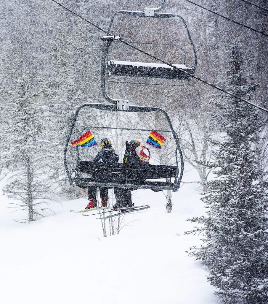
It looks like it’s going to be a snowy Gay Ski Week for Aspen, with snow in the forecast through Friday.
According to OpenSnow, there are three storms heading into Colorado, the first of which began in the southern mountains on Saturday. For Aspen, the storm was forecast to begin around midday Sunday and continue through Monday morning.
The second storm will begin just after the first one clears out. Wednesday will be the best chance for powder on the mountains, and total snowfall from Sunday through Wednesday could total up to 11 inches at Snowmass, 10 inches at Aspen Highlands, 9 inches at Aspen Mountain and 6 inches at Buttermilk.
“The second storm should deliver snow as early as Monday night into Tuesday morning, and we’ll see snow through about Wednesday at noon,” OpenSnow founding meteorologist Joel Gratz wrote in his daily snow update.
The third storm should arrive on Friday. However, because it is so far out, there is no detailed consensus among forecast models, according to OpenSnow.
Temperatures throughout the week won’t vary too much. According to the National Weather Service, highs will be in the high 20s to low 30s and lows will be in the high teens.
Avalanche risks remains considerable for above and near treeline. Below treeline, the risk has been reduced to moderate. The Colorado Avalanche Information Service still recommends sticking to safer travel options on low-angle slopes with no overhead hazards.


